
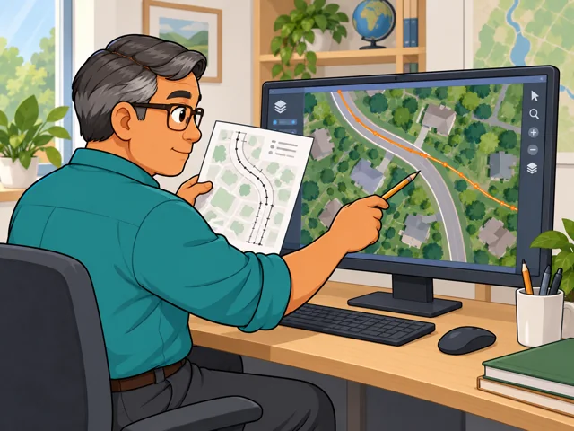
When a street does not match
Set survey records beside aerial images in GIS and learn why they disagree before you change the map.
Career profile
Cartographers turn location data into maps that readers can understand and use.
Every map runs short on space. Cartographers decide which features belong, confirm each one's location, and arrange everything around what readers need to find.
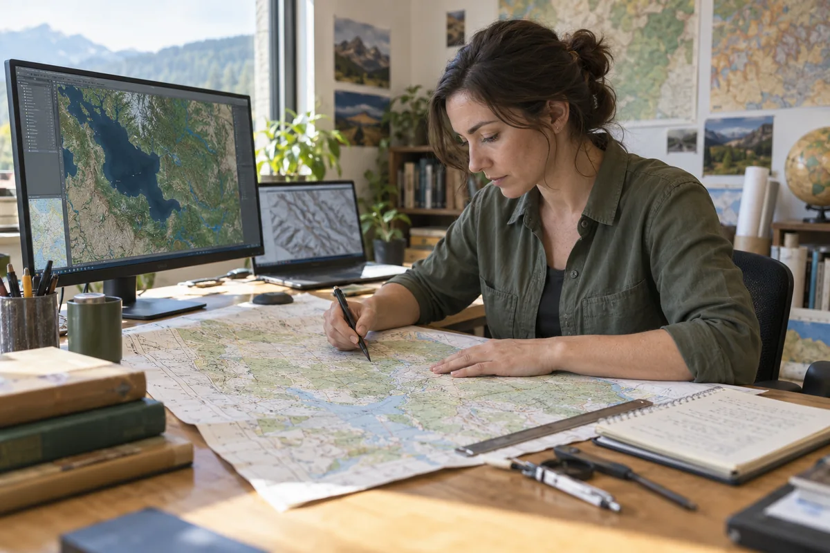
Set survey records beside aerial images in GIS and learn why they disagree before you change the map.
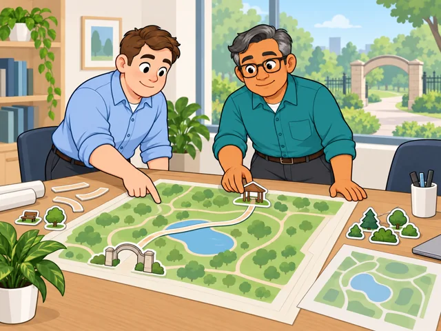
Choose trails and landmarks that steer park visitors where they're headed, and leave out detail that distracts.
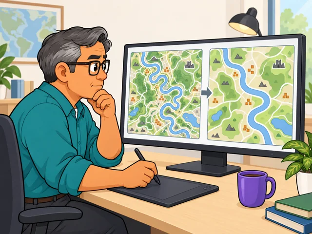
Once the map covers a wider region, change symbols and simplify shapes so key features don't blur together.
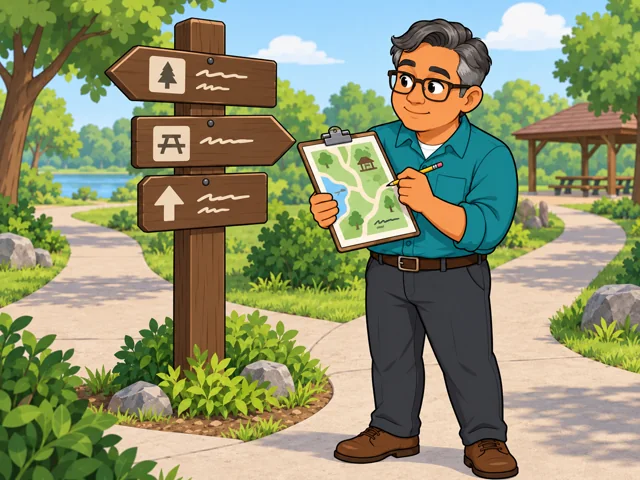
Scan the finished map for missing features and wrong labels, and match visitor-map names to posted signs.
United States
United States · May 2025
United States · 2025–2035
Quick orientation
Typical preparation is a degree in cartography, geography, or a related field.
Median for cartographers and photogrammetrists combined; equivalent to $39.13/hour.
Projected for cartographers and photogrammetrists combined, with about 900 openings annually.
Mapping software already supports partly automated production. Researchers also develop tools that reduce dense geographic detail for maps showing larger areas.
You decide what the reader needs and whether a simplified map still communicates the right information.
How far software can take over those design choices remains unsettled: an effective simplification depends on the map’s purpose and scale.
Pay in context
Separate national pay figures are not reported for cartographers alone. These figures cover cartographers and photogrammetrists together.
The median was $81,390 a year, equivalent to $39.13 an hour. Half earned more and half less; this is not a starting salary.
The 10th-to-90th-percentile range was $53,740–$126,950 annually, or $25.84–$61.03 hourly. These are points in the wage distribution, not beginner and senior pay levels.
Employment is projected to grow 7.4%, with about 900 openings per year on average. Openings include replacements for people leaving the occupation as well as growth.
A relevant bachelor’s degree is the usual route. Federal cartography jobs also recognize a specified combination of coursework and experience.
After entry
This starts where the entry routes leave off: early work, growing capability, and advancement or specialization.
Learn the map standards and source records your workplace uses. Build accuracy through revisions and final checks.
Take a map from choosing source data through layout and review, explaining your decisions to coworkers.
Work toward directing a mapping project: set production specifications, estimate the work, and check the finished output.
Your desk work connects to a specific place: the sign’s location, viewing direction, and nearby landmarks shape the design. Labels need to agree with park signs.
At the U.S. Geological Survey, map production draws on geographic databases and standardized, partly automated processes. The work emphasizes consistent maps across many areas.
Try it
Draw a paper map that helps a new student find one destination on a familiar campus. Choose the landmarks and symbols, then ask someone to explain the route using only your map. Revise whatever confused them. Notice whether you enjoy making those choices.