
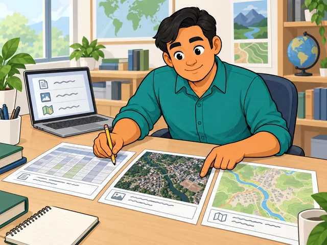
Gather census counts, imagery and maps
Confirm when each one was made before you treat them as showing one place at one moment.
Career profile
Geographers study why events and features show up in particular places.
Picture a map showing where building is spreading. Geographers combine data on people and land to explain that growth and its effects.
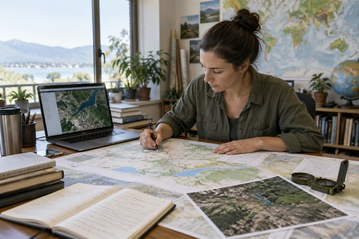
Confirm when each one was made before you treat them as showing one place at one moment.
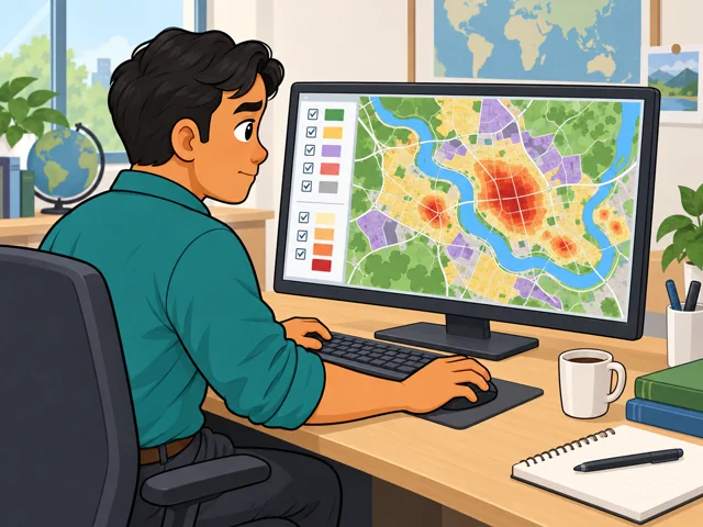
In a geographic information system (GIS), stack population data on land-use data and study where the two overlap.

For human geography projects, you interview locals to understand lived experience that a map alone cannot explain.
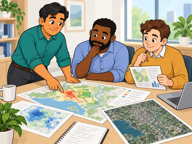
Make a map and written report that show coworkers the pattern, your interpretation and the evidence.
United States
United States · May 2025
United States · 2025–2035
Quick orientation
Typical entry education; some positions require graduate study.
National median for geographers, equivalent to $49.06/hour.
Employment is projected to shrink, with about 100 openings annually.
In land-change research, software can learn from labeled examples to classify satellite images and flag changes across large areas.
Researchers test those results against reference data and revise methods when they miss gradual changes or perform unevenly across places.
How much image checking can become automatic depends on whether methods handle different landscapes and uneven observations reliably.
Pay in context
These national figures describe employed geographers across experience levels, not a starting-salary promise.
The median was $102,040 a year, or $49.06 an hour. The 10th-to-90th-percentile range was $66,770–$136,660 annually. Those endpoints describe the wage distribution, not entry and senior salaries.
Federal-government geographers had a $110,010 median; state-government geographers had a $75,590 median. These compare different groups of workers, not identical jobs.
Employment is projected to fall 2.1% from 2025 to 2035, while about 100 openings are projected each year on average.
A bachelor’s degree is the usual starting point. Some research jobs require a master’s or doctoral degree.
After entry
This starts where the entry routes leave off: early work, growing capability, and advancement or specialization.
Learn your team’s geographic database and quality checks. Make sure another person can trace an update to its source.
Develop programs that check geographic rules or create maps, then assess the quality of their output.
Specialize in questions such as how floods or fires change landscapes. Move toward designing studies that connect observed changes with their causes.
Work alongside cartographers, statisticians, and technology specialists on national geographic records. Accuracy includes keeping address and boundary updates consistent with information from local partners.
Compare satellite images across time and test mapping methods. Projects investigate environmental change, so explaining why vegetation or water changed matters alongside producing the map.
Try it
Compare two dated aerial or satellite images of a familiar area. Mark one visible change, propose two possible explanations, and name the evidence you would need to choose between them. Notice whether investigating the cause interests you as much as spotting the change.