
Career profile

GIS Technician

Geographic information system technicians keep digital maps and their linked data correct in GIS software.

Every map line rests on data. Checking that data, adjusting the line to match and making the result usable for someone else is the job.
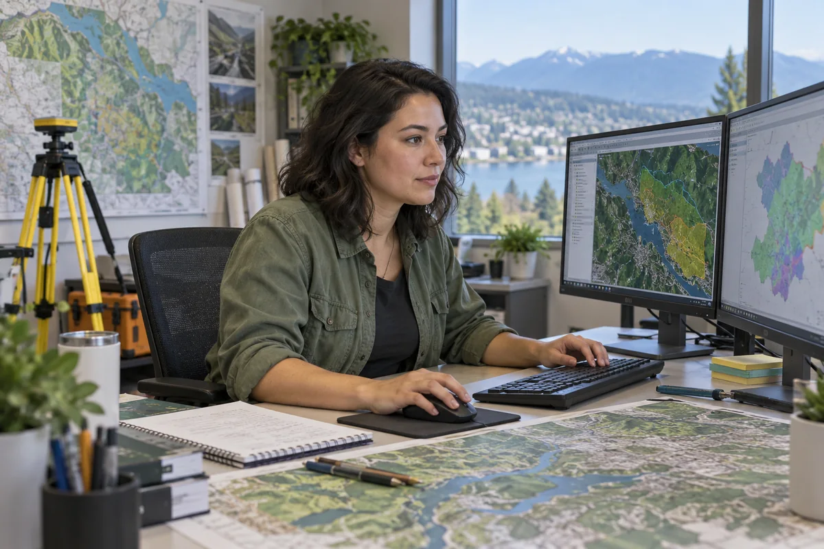
An adult GIS technician editing layered geographic maps at a workstation beside a large plotted map.

A day in the life

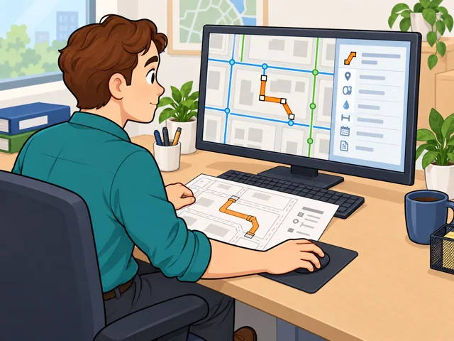
1A GIS technician redraws a pipe on a digital utility map using a construction record, with the pipe's attached information open beside the map.

Redraw a changed utility pipe

In utility work, you redraw a changed pipe from construction paperwork, then update its GIS database record.
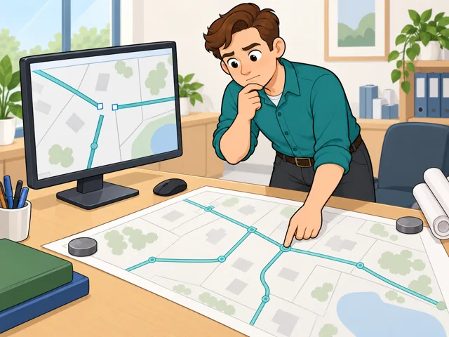
2A GIS technician compares a gap between mapped lines with an engineering drawing that shows the junction connected.

Chase down a map gap

When lines do not meet, check engineering drawings and fix the layer if they show a mistake.

3A GIS technician adjusts map symbols and checks the map extent and label spacing to make the information easier to find.

Design a map people can read

So readers can find what they need, you choose the map's symbols and labels and set its scale.
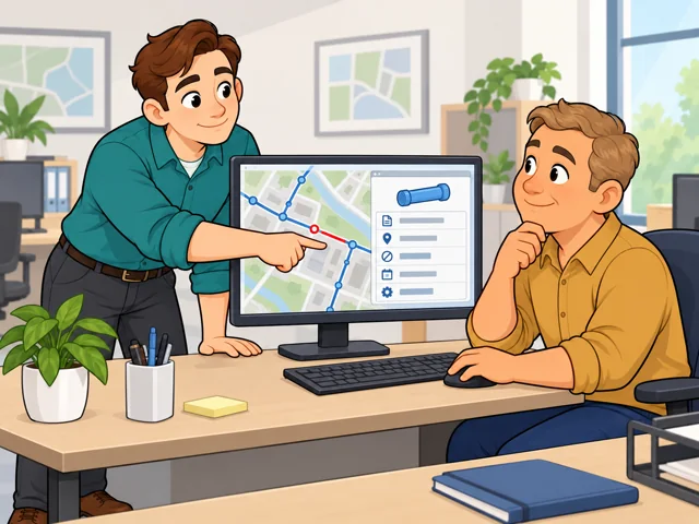
4A GIS technician helps a coworker locate a map-linked record and checks which information the coworker needs.

Help a coworker find data

Ask which records a coworker wants, help pull them up and describe bigger software issues to technical staff.

Quick facts

Preparation

GIS study or relevant experience

United States · 2026

Pay

Not displayed

Compare the pay range for the specific technician level and location.

Outlook

Not displayed

Check local technician openings and the experience each requires.

Quick orientation

Preparation, pay & outlook

Preparation

GIS study or relevant experience

College certificates and associate degrees teach mapping skills; some entry jobs accept relevant software experience or equivalent training.

Geography
United States
Period
2026

Pay

Not displayed

Compare the pay range for the specific technician level and location.

Geography
United States
Period
Not applicable

Outlook

Not displayed

Check local technician openings and the experience each requires.

Geography
United States
Period
Not applicable

Fit, tradeoffs & changing tools

Things to weigh

  • Office-centered jobs can mean long stretches sitting at a computer.
  • Keeping existing records correct means returning to checks and updates, even when you would rather make something new.

Where AI may help

You can connect processing steps in tools such as ArcGIS ModelBuilder and rerun the workflow instead of repeating each operation by hand.

What people still lead

For teams using artificial intelligence to identify objects in images, someone still needs to review the results and assess their accuracy.

What we can’t predict yet

How much image tracing shifts into checking machine-produced features will depend on the data and how reliably the tools perform.

Pay in context

Earnings

Compare pay by location and technician level. These local ranges show concrete possibilities, not a national average.

County entry classification

Kern County, California, lists GIS Technician I at $21.78–$26.03 an hour. That is a classification range, not a guaranteed starting rate.

Geography
Kern County, California
Period
Schedule retrieved October 3, 2026
Pay basis
Published hourly salary range

Water utility

Des Moines Water Works advertised $33.31–$41.07 an hour, or $69,284.80–$85,425.60 annually, in February 2026. It preferred two to three years of relevant experience.

Geography
Des Moines, Iowa
Period
February 2026
Pay basis
Advertised full-time hourly and annual salary range

Moving to a higher level

Kern County lists Technician II at $24.06–$28.76 an hour for more complex work. Its range overlaps Technician I. Differences between employers also reflect different locations and job requirements.

Geography
Kern County, California; Des Moines, Iowa
Period
2026
Pay basis
Published classification ranges and advertised salary; not industry averages

Getting started

Study GIS at a community college

What the route involves
Study data collection, database management, spatial analysis, and map design. Pasadena City College offers both a GIS certificate and an associate-degree route.
What it can lead to
You build the skills to create map layers and maintain GIS databases for technical work.
What to check
Pasadena requires grades of C or better in required certificate courses; the associate degree also has general education requirements.

Qualify through software experience

What the route involves
Build relevant ArcGIS experience. Kern County's Technician I requirements accept high school completion or equivalent plus one year using ArcGIS, with equivalent training and experience also considered.
What it can lead to
Meeting those requirements makes you eligible for consideration for Technician I; relevant college study can substitute for experience year for year.
What to check
The county's selection process can include a GIS knowledge exam. Eligibility does not guarantee hiring, and the cited 2026 recruitment has closed.

Entry requirements vary. You can prepare through college coursework or relevant experience; entry technicians work with supervision while learning the employer's maps and records.

After entry

Career paths

This starts where the entry routes leave off: early work, growing capability, and advancement or specialization.

  1. Learn the local records

    Get comfortable with the employer's map layers and documentation. Practice checking an edit against its source before calling it complete.

  2. Make repeated work reusable

    Build and test a workflow that processes a recurring dataset. Learn to check intermediate results so you can find which step went wrong.

  3. Take on small projects

    A Technician II role can add more complex mapping and small projects requiring independent judgment. In Kern County, advancement depends on merit and management approval.

Where you can work

City GIS support

You connect departmental map users with information technology staff, help solve access problems, and document data changes. Some positions include field checks of facilities.

  • Office
  • Field work

Water utility engineering

Maps sit alongside construction drawings and utility records. Some roles combine office editing with outdoor asset checks using Global Positioning System (GPS) equipment.

  • Office
  • Field work

Try it

See whether the job clicks before you commit to the path.

Sketch five familiar places on paper and give each an ID. Make a table linking each ID to a name and description. Change one place, update both records, and ask someone to find it. Notice whether keeping the map and table consistent feels satisfying.

Explore more careers

Sources

  1. O*NET OnLine. Geographic Information Systems Technologists and Technicians. Accessed 2026-10-03.
  2. Kern County. Geographic Information Systems Technician I/II — 2026 recruitment. Accessed 2026-10-03.
  3. Kern County. Geographic Information Systems Technician I — class specification. Accessed 2026-10-03.
  4. Kern County. Geographic Information Systems Technician II — class specification. Accessed 2026-10-03.
  5. Des Moines Water Works. GIS Technician — February 2026 recruitment. Accessed 2026-10-03.
  6. City of Spokane. Geographic Information Systems Technician II — 2026 recruitment. Accessed 2026-10-03.
  7. Pasadena City College. Geographic Information Systems and Technology — Associate in Science, Certificate of Achievement. Accessed 2026-10-03.
  8. Esri. What is ModelBuilder?. Accessed 2026-10-03.
  9. Esri. Deep learning in ArcGIS Pro. Accessed 2026-10-03.

Your message goes to the Great Jobs team. How we use your information