
Career profile

Land Surveyor

Land surveyors find property lines using old records and evidence on the ground.

A fence and a deed can seem to disagree about one line, so you investigate the mismatch and then say where it truly runs.
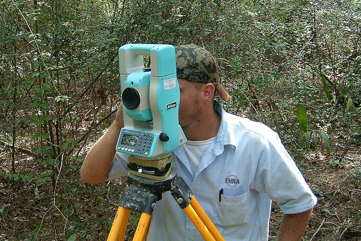
A land surveyor using a total station in the field.
Random Guy of the Century / Wikimedia Commons, CC BY-SA 3.0

A day in the life

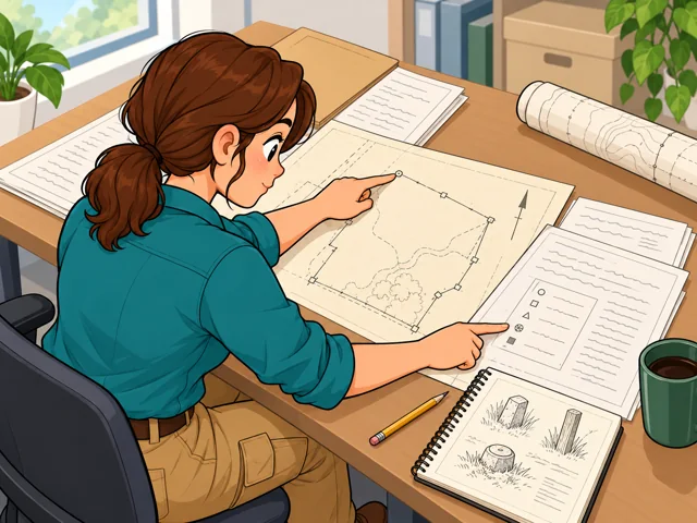
1A land surveyor compares deed pages with an earlier survey drawing, tracing a boundary and identifying evidence to find outdoors.

Pull up the prior survey

Set the deeds beside earlier survey records to see which line evidence you'll need to find later.
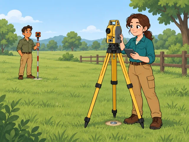
2A land surveyor records a total-station measurement while a coworker holds a prism pole at a second point across a grassy property.

Shoot points with a total station

You set up a total station, which measures distance and angle, and log points from known marks.
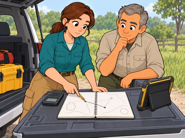
3A land surveyor reviews conflicting field measurements with a coworker and points to the measurement that needs checking again.

Sort out conflicting results

When two results do not agree, comb through your field notes and math, then pick what to recheck.
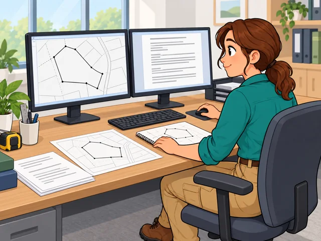
4A land surveyor prepares a boundary map and accompanying property description at her workstation, checking them against field notes.

Draw up the map and description

Draft the survey map and a written parcel description so your conclusions carry into legal papers.

Quick facts

Preparation

Bachelor’s degree typical

United States · 2026

Pay

$75,440/year

United States · May 2025

Outlook

5.8% projected growth

United States · 2025–2035

Quick orientation

Preparation, pay & outlook

Preparation

Bachelor’s degree typical

Surveyors typically enter with a bachelor’s degree; licensing routes vary by state.

Geography
United States
Period
2026

Pay

$75,440/year

$36.27/hour median for all Surveyors; land-surveyor pay is not reported separately.

Geography
United States
Period
May 2025

Outlook

5.8% projected growth

For all Surveyors, 2025–2035; land-surveyor growth is not reported separately.

Geography
United States
Period
2025–2035

Fit, tradeoffs & changing tools

Things to weigh

  • Field days can involve rough ground, heavy equipment, bad weather, and longer hours.
  • Taking responsibility for a boundary means being ready to explain and stand behind your judgment.

Where AI may help

Robotic instruments automate parts of measuring. On some large mapping projects, aircraft collect surface data while surveyors establish reference points on the ground.

What people still lead

You still check whether the measurements and records support the boundary conclusion.

What we can’t predict yet

How much field measuring shifts to aerial collection will vary with the site and the evidence the survey needs.

Pay in context

Earnings

Land-surveyor earnings and prospects are not reported separately. These national figures cover the broader Surveyors occupation.

Median and national spread

The May 2025 median was $75,440 a year, or $36.27 an hour. The 10th-to-90th-percentile range was $46,880–$125,590 annually. These are employee wages, not business-owner income.

Geography
United States
Period
May 2025
Pay basis
BLS Surveyors, SOC 17-1022; annual and hourly employee wages

Read the range carefully

Location, experience, and responsibility can affect pay. The low end is not a starting-pay promise, and the high end is not an automatic destination.

Geography
United States
Period
Not stated
Pay basis
General interpretation of employee wage differences

Openings across surveying

Employment is projected to grow 5.8% from 2025 to 2035, with about 3,100 openings annually on average. Openings include replacements as well as growth.

Geography
United States
Period
2025–2035
Pay basis
Employment projection for all Surveyors, SOC 17-1022; not a wage measure

Getting started

Study surveying, then build experience

What the route involves
Complete a surveying bachelor’s program your state board accepts, then gain qualifying work experience.
What it can lead to
This addresses the education and experience portions of the common licensing route.
What to check
Candidates typically also pass the Fundamentals of Surveying (FS), Principles and Practice of Surveying (PS), and state-specific exams. Check eligibility before registering.

Start on a survey crew

What the route involves
Enter as a surveying technician and build field and office experience under a licensed surveyor.
What it can lead to
Experience can support licensure in states with that route. California allows six qualifying years without a degree, including a year each of responsible field and office training.
What to check
California still requires examinations and an approved application. This experience route is not available on identical terms nationwide.

Choose a route against the requirements of the state where you want to practice.

After entry

Career paths

This starts where the entry routes leave off: early work, growing capability, and advancement or specialization. This path also has a credential or licensing boundary; see the requirements and limits.

  1. Get established

    Make your field notes and measurement checks reliable enough for another surveyor to follow.

  2. Develop judgment

    Work through harder boundary questions and learn to justify the evidence behind your conclusions.

  3. Lead or specialize

    Move toward crew leadership, planning surveys and checking other people’s work.

    • Specialize in retracing public-land boundaries, where historical records shape the investigation.

Where you can work

Surveying and engineering firms

Boundary work can sit alongside development, utility, and transportation projects. In larger firms, you may coordinate ground measurements with specialists collecting aerial mapping data.

  • Field work
  • Office
  • Outdoors

Federal public-land teams

At the Bureau of Land Management, you retrace public-land boundaries using historical records and surviving markers. Some field assignments involve camping while searching for old survey evidence.

  • Field work
  • Office
  • Travel
  • Physical demands

Try it

See whether the job clicks before you commit to the path.

Sketch a fictional parcel: 100 feet east, 60 north, 100 west, then 60 south. Change the west side to 95 feet and mark what no longer fits. Write what you would recheck before trusting the drawing. Notice whether tracing the discrepancy interests you.

Stay safe: Keep this on paper; it cannot establish a real property boundary.

Explore more careers

Sources

  1. O*NET OnLine. Surveyors — 17-1022.00. Accessed 2026-10-11.
  2. U.S. Bureau of Labor Statistics. Surveyors — Occupational Outlook Handbook. Accessed 2026-10-11.
  3. U.S. Bureau of Labor Statistics. May 2025 national OEWS estimates — Surveyors, SOC 17-1022; pinned binding. Accessed 2026-10-11.
  4. U.S. Bureau of Labor Statistics. Employment Projections Table 1.2, 2025–2035 — Surveyors; pinned binding. Accessed 2026-10-11.
  5. National Council of Examiners for Engineering and Surveying. Licensure — surveying pathways. Accessed 2026-10-11.
  6. California Board for Professional Engineers, Land Surveyors, and Geologists. Professional Land Surveyor Application. Accessed 2026-10-11.
  7. California Board for Professional Engineers, Land Surveyors, and Geologists. 2026 Professional Land Surveyors’ Act. Accessed 2026-10-11.
  8. Bureau of Land Management. Careers in BLM — Cadastral Survey and Land Surveyor. Accessed 2026-10-11.
  9. Dewberry. Geospatial, Mapping, and Survey. Accessed 2026-10-11.
  10. Dewberry. Combining Survey and Geospatial Services for Efficient Project Delivery. Accessed 2026-10-11.

Your message goes to the Great Jobs team. How we use your information