
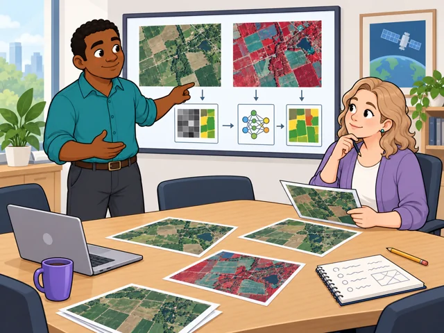
Pick images for the question
Discuss the research question with coworkers, then choose the images and analysis method that can answer it.
Career profile
Remote sensing scientists turn satellite and aircraft data into evidence about what happens on Earth.
Did a lake change between two images, or did the recording? You set up the study and checks so people can trust the answer.
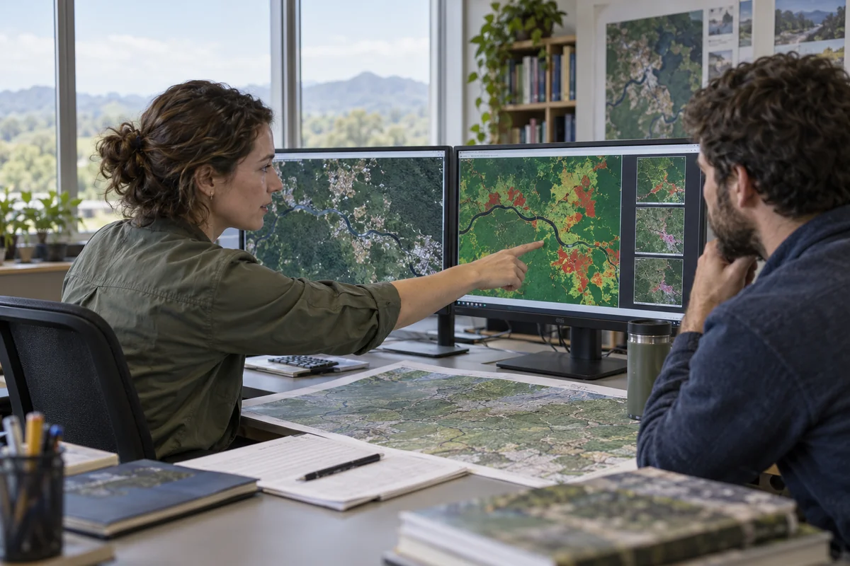
Discuss the research question with coworkers, then choose the images and analysis method that can answer it.
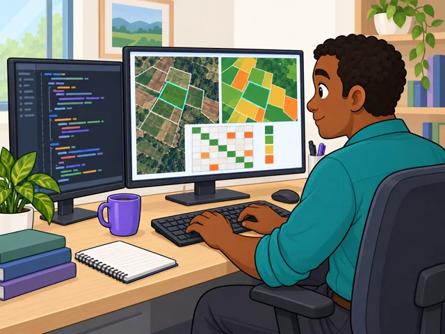
On farm projects, write Python code that sorts image patterns by crop, then dig into its mistakes.
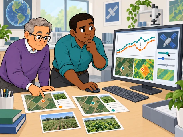
Test surprising satellite readings against ground observations, and recheck sensor corrections before calling a mismatch environmental change.
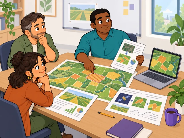
Make a map and written report that show whoever uses them your methods, findings and limits.
United States
Compare salaries for specific scientist roles below.
Explore openings by scientific specialty and location.
Quick orientation
A bachelor's degree is a common foundation; some scientist jobs require a master's.
Compare salaries for specific scientist roles below.
Explore openings by scientific specialty and location.
Models trained on satellite images can help identify crops, floodwater, and burned areas. This can reduce the work of sorting large image collections.
Scientists choose suitable training data, test outputs against independent evidence, and decide whether the result answers the scientific question.
How far these tools can take over a whole analysis depends on whether they produce reliable results in new settings and make their errors visible.
Pay in context
Use the broad wage benchmark for orientation, then compare the location and qualifications of the scientist roles you might pursue.
The broader Physical Scientists, All Other group had a 2025 U.S. median of $122,570 a year, or $58.93 an hour. The lowest-paid 10% earned $67,000 or less; the highest-paid 10% earned $195,190 or more. These figures cover several scientific specialties, not remote sensing scientists alone, and describe a wage distribution rather than starting and senior salaries. [National wage data](https://www.onetonline.org/link/localwages/19-2099.01).
For that same broad group, May 2023 average annual wages were $76,530 at colleges and universities, $87,580 in state government excluding schools and hospitals, and $141,640 in scientific research and development services. These older averages reflect different mixes of jobs and experience; they do not predict your pay or a raise from switching workplaces. [Workplace wage data](https://www.bls.gov/oes/2023/may/oes192099.htm).
An advertised full-time scientist role offers $85,000–$110,000 a year depending on experience, with a relevant master's degree and strong modeling skills required. This is a specific role's range, not typical consulting pay. [Salary and qualifications](https://www.landiq.com/_files/ugd/1cc799_24e44954c01c4712b04ed45b27457f81.pdf).
Build a science foundation, then learn to work with images, statistics, and code.
After entry
This starts where the entry routes leave off: early work, growing capability, and advancement or specialization.
Learn the team's checks for data accuracy and document each processing step so colleagues can verify your results.
Take responsibility for designing and evaluating an image-processing approach to a problem such as vegetation management or water quality.
Lead method development and train colleagues, or specialize in checking and correcting satellite sensor measurements.
Work with engineers and other scientists on client problems. Projects may involve water, crops, or utilities, with deliverables tied to budgets and schedules.
Agency and university collaborators track sensor performance over a mission's life. Work can combine computer analysis, field comparisons, and published methods that other researchers scrutinize.
Try it
Open the National Aeronautics and Space Administration (NASA) [Worldview tool](https://worldview.earthdata.nasa.gov/). Compare the same lake on two dates using the same imagery layer. Write one observed difference, one possible explanation, and one extra measurement you would need to test it. Notice whether checking your interpretation interests you as much as spotting the change.