
Career profile

Surveying and Mapping Technician

Surveying and mapping technicians measure land features, then turn that field data into usable maps.

Somebody has to tie each real place to the point that stands for it on screen, then confirm the two actually match.
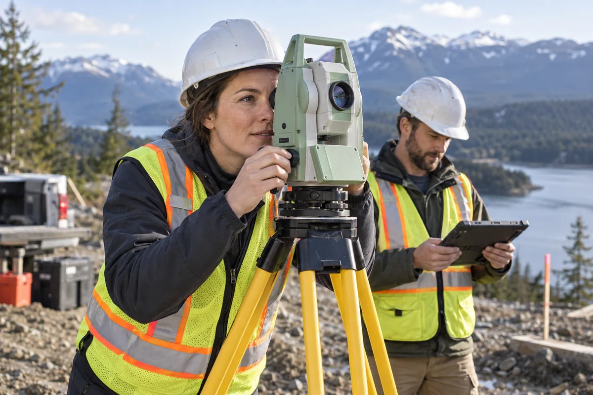
An adult surveying and mapping technician operating a total station surveying instrument outdoors with a colleague.

A day in the life

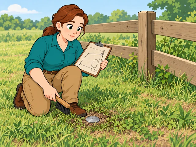
1A surveying technician kneels beside a fence corner, clearing grass from an old survey marker while comparing its location with a survey sketch.

Find an old survey marker

Use past survey records to locate a marker from an earlier job before any new measuring begins.
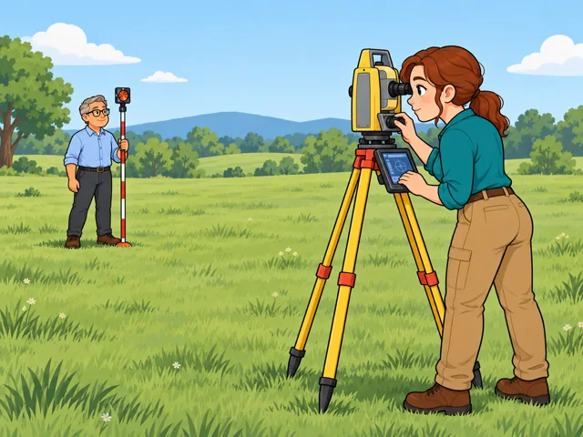
2The technician adjusts a surveying instrument and records a measurement while an older male coworker holds a prism pole at the far survey point.

Measure distance to a target

Set up and adjust the electronic distance meter, sight the target, and save readings to the data collector.
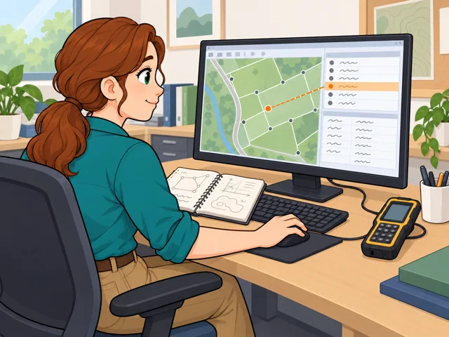
3At her office computer, the technician brings field measurements into a map and checks the descriptive record linked to a selected survey point.

Put field readings on a map

Load the readings into geographic information system (GIS) software to map each place with written details.
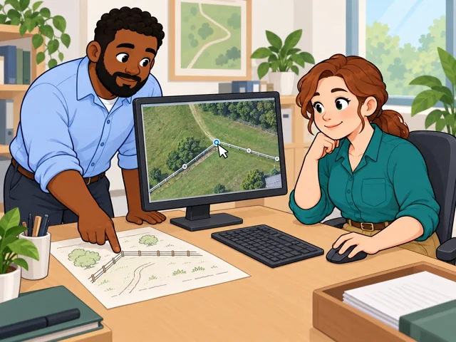
4The technician corrects a misplaced fence corner on a digital map while a male coworker helps compare the aerial image with their field sketch.

Fix a map error

When a map feature looks off, check it against field records or aerial photos, then fix the mistake.

Quick facts

Preparation

High school + job training

United States · 2025–2035

Pay

$54,240/year

United States · May 2025

Outlook

5.8% projected growth

United States · 2025–2035

Quick orientation

Preparation, pay & outlook

Preparation

High school + job training

A diploma or equivalent is typical; equipment and mapping skills develop through on-the-job training.

Geography
United States
Period
2025–2035

Pay

$54,240/year

National median: $26.08/hour.

Geography
United States
Period
May 2025

Outlook

5.8% projected growth

About 6,900 openings annually, averaged across the projection period.

Geography
United States
Period
2025–2035

Fit, tradeoffs & changing tools

Things to weigh

  • Field jobs can mean rough terrain, heavy equipment, and travel.
  • Office mapping can mean long stretches at a computer, checking records and making small edits.

Where AI may help

Drones can collect images; mapping software helps turn measurements into maps.

What people still lead

You still check whether the output is accurate and complete.

What we can’t predict yet

How much collection and checking becomes automatic will vary with the tools and the project.

Pay in context

Earnings

The median is a midpoint, not an entry offer.

The national spread

The lowest-paid 10% earned under $37,520; the highest-paid 10% earned over $81,630. These are not beginner and senior pay bands.

Geography
United States
Period
May 2025
Pay basis
Annual employee wages

Workplace matters

Annual medians were $77,310 in utilities and $50,340 in architectural, engineering, and related services. These describe different workforces, not guaranteed offers.

Geography
United States
Period
May 2025
Pay basis
Industry median annual employee wages

Openings include replacements

The projected 6,900 annual openings include workers leaving the occupation, as well as growth. They are not current vacancies.

Geography
United States
Period
2025–2035
Pay basis
Projected annual-average openings; not compensation

Getting started

Learn in a technician job

What the route involves
Start with markers and data entry, learning from a surveyor or other lead staff.
What it can lead to
You build competence with surveying equipment or map databases.

Study surveying and mapping

What the route involves
An associate-degree program such as Cincinnati State's combines surveying practice, mapping, and satellite positioning technology.
What it can lead to
You prepare for technician work collecting survey data and producing maps and site plans.
What to check
Some employers prefer additional education; it is not universally required.

Choose between learning in an entry job and building technical skills through college first.

After entry

Career paths

This starts where the entry routes leave off: early work, growing capability, and advancement or specialization.

  1. Get established

    Practice equipment setup and keep field records another technician can use.

  2. Handle fuller mapping tasks

    Learn to update map networks, review incoming drawings, and document where your data came from.

  3. Lead a small mapping team

    Senior technician roles can include allocating work, checking completion, and training newer colleagues.

Where you can work

Surveying and engineering firms

Field assignments take you to project sites, sometimes far from home, with weather and terrain shaping the day.

  • Field work
  • Outdoors
  • Travel
  • Physical demands

County utility mapping offices

Computer work can dominate: maintain utility map records, review drawings, and answer requests for maps and data.

  • Indoors
  • Office

Water agencies with field mapping

Some roles combine checking pipe and equipment locations outdoors with updating the agency's infrastructure maps for engineering staff.

  • Field work
  • Outdoors
  • Office

Try it

See whether the job clicks before you commit to the path.

Use a tape measure to map a small room on graph paper. Record the walls and doorway, choose a scale, then remeasure one distance. Does the drawing agree? Notice whether you enjoy both collecting measurements and checking them.

Stay safe: Use a space you have permission to measure; this is a practice sketch, not a property survey.

Explore more careers

Sources

  1. U.S. Bureau of Labor Statistics. Surveying and Mapping Technicians. Accessed 2026-10-03.
  2. U.S. Bureau of Labor Statistics. Occupational projections and worker characteristics. Accessed 2026-10-03.
  3. O*NET OnLine. 17-3031.00 — Surveying and Mapping Technicians. Accessed 2026-10-03.
  4. Cincinnati State Technical and Community College. Surveying and Mapping (SAM). Accessed 2026-10-03.
  5. Manatee County. Utilities Mapping Technician (DOQ). Accessed 2026-10-03.
  6. Amador Water Agency. Mapping/GIS Technician. Accessed 2026-10-03.

Your message goes to the Great Jobs team. How we use your information